Lake Type: Natural Freshwater Lake, Dammed
Water Level Control: Twin Lakes Rathdrum Flood Control District 17
Surface Area: 850 acres
Normal Elevation: 2,313 feet
Maximum Depth: 60 feet
Water Volume: 10 acre-feet
Drainage Area: 51 sq.miles
Water to Aquifer: 26 mgd
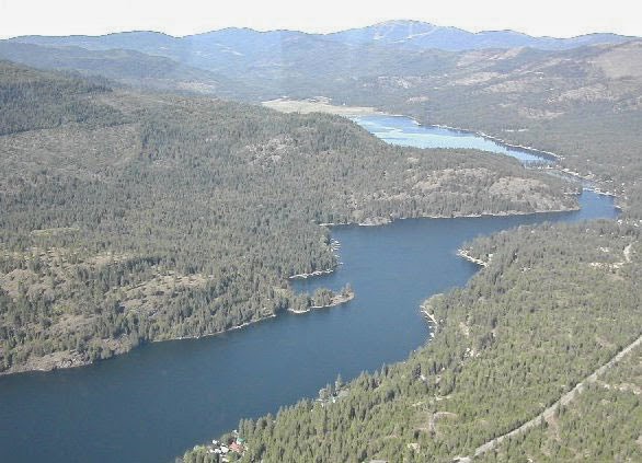
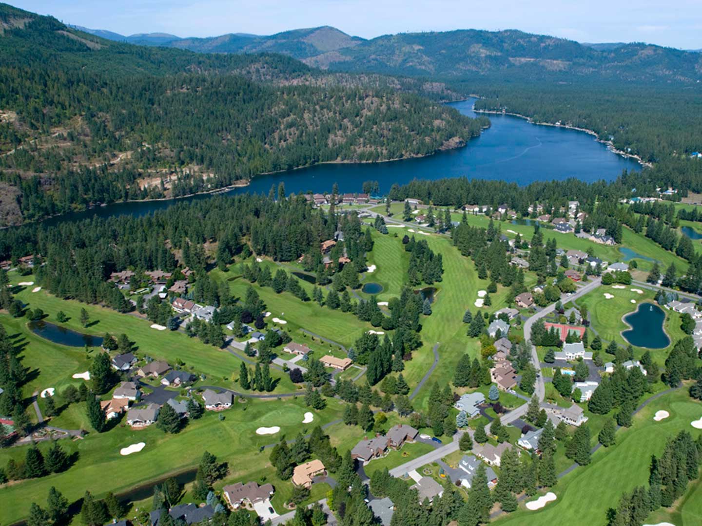
Twin Lakes is located in Kootenai County, Idaho. The lake is made up of two bodies of water, the upper and lower lakes. The upper lake reaches out across 500 acres and has a maximum depth of 20 feet. The lower lake, which is connected by a narrow channel spanning 10 feet, has a surface area of 350 acres and has a maximum depth reaching down to 60 feet. The lake’s dam, owned by the Twin Lakes Rathdrum Flood Control District 17, was constructed in 1909 and is used to regulate water levels for irrigation and drinking water.
While Twin Lakes remains chilly throughout most of the year, this does not deter visitors and residents from enjoying its waters and beautiful surroundings. Coeur d’Alene National Forest is a few miles to the east and Mt. Spokane State Park to the west making Twin Lakes is a veritable paradise for outdoor enthusiasts. Coeur d’Alene National Forest stretches across 726,362 acres and three of Idaho’s counties. Backpackers and day hikers can find solitude within this intense wilderness area, where grizzly bear, wolves, lynx and caribou roam. Towards the west, Mt. Spokane State Park covers 13,919 acres with a large emphasis on winter activities, from downhill skiing and snowboarding to cross-country skiing and snowshoeing.
Organizations Protecting Twin Lakes
Idaho Department of Environmental Quality
North Kootenai Water and Sewer District
Twin Lakes Idaho Community Website
Twin Lakes Improvement Association
Studies, Reports, Articles and Presentations
2015 CDA Press Saving Twin Lakes Collaborative water quality program reduces erosion
1987 Limnological Study and Management Plan for Upper and Lower Twin Lakes Kootenai County, Idaho
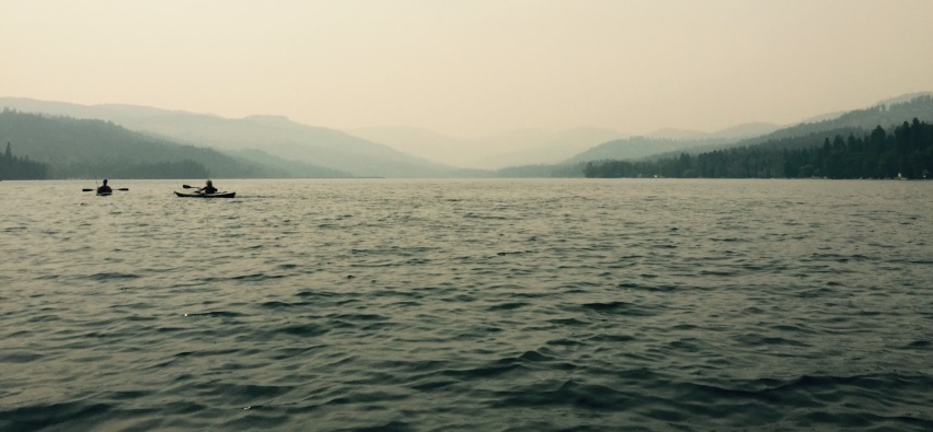
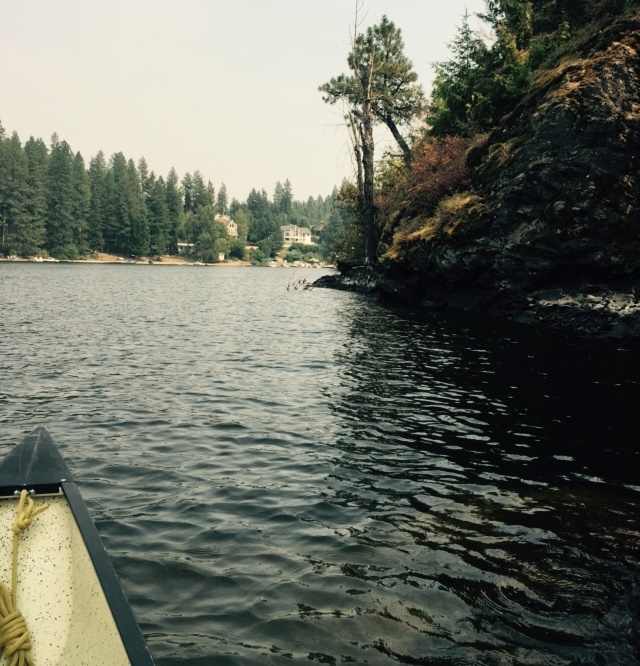
Kayaking on Twin Lakes – Photos provided by Jim Ekins, U of I
